

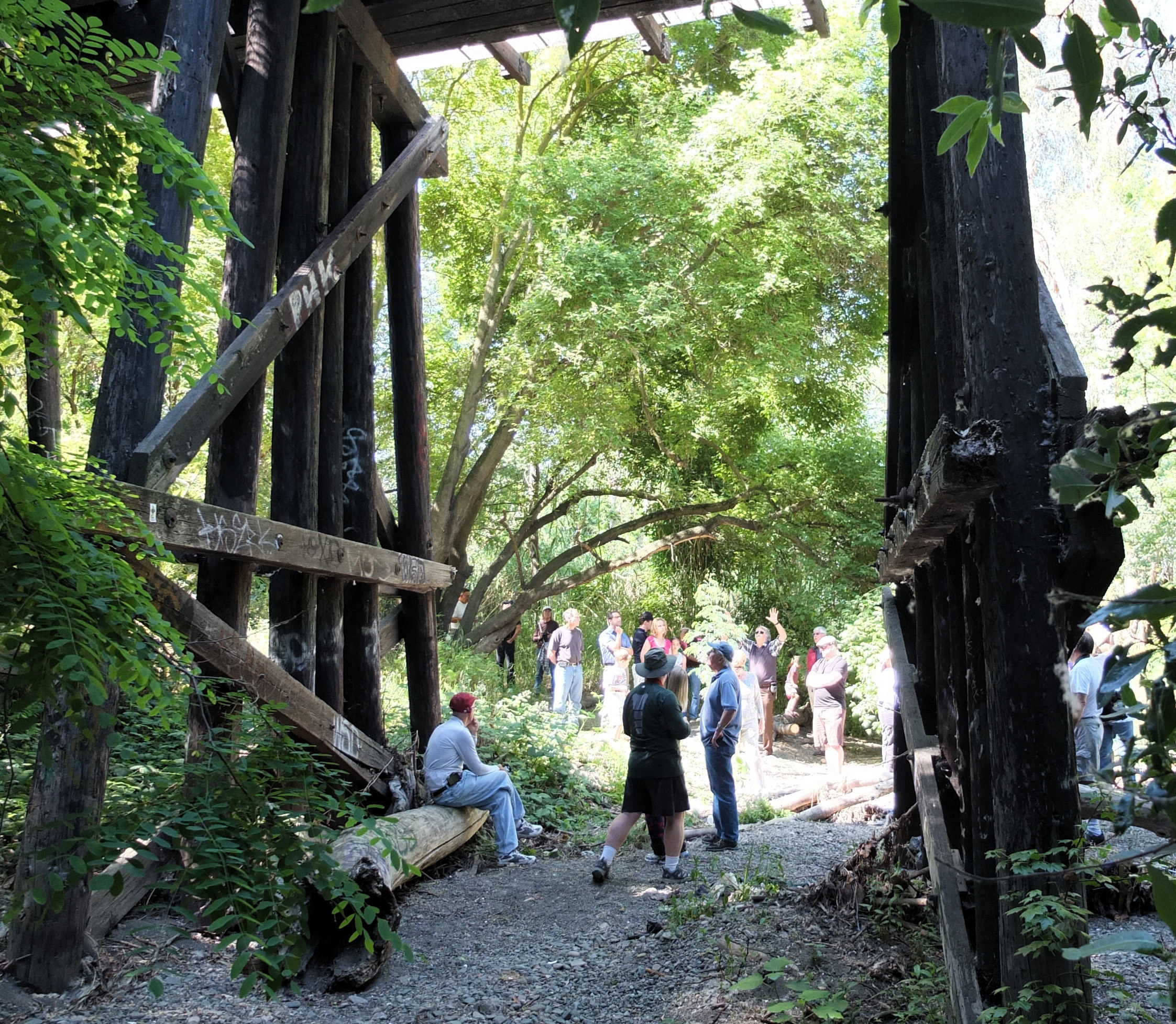


South of 280, north of Coe, between Lincoln Avenue and Riverside Drive, where the creek crosses the trail:

Maps Google Satellite <- ZOOM IN
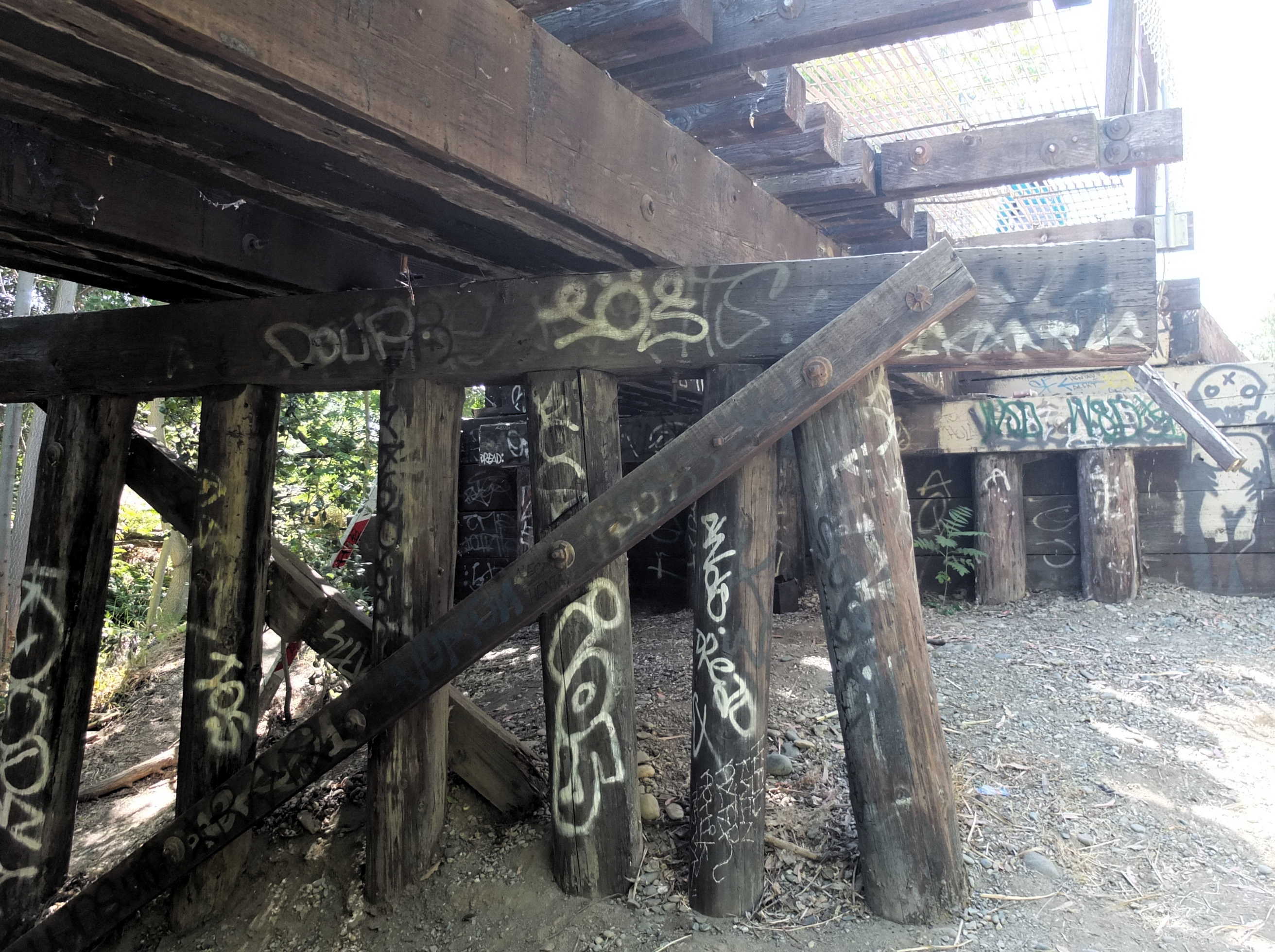
South of 280, north of Coe, between Lincoln Avenue and Riverside Drive, where the creek crosses the trail:
Maps Google Satellite <- ZOOM IN

That’s very high voltage at the very top. The temporary orange insulation on two lines is in case they bump their heads.
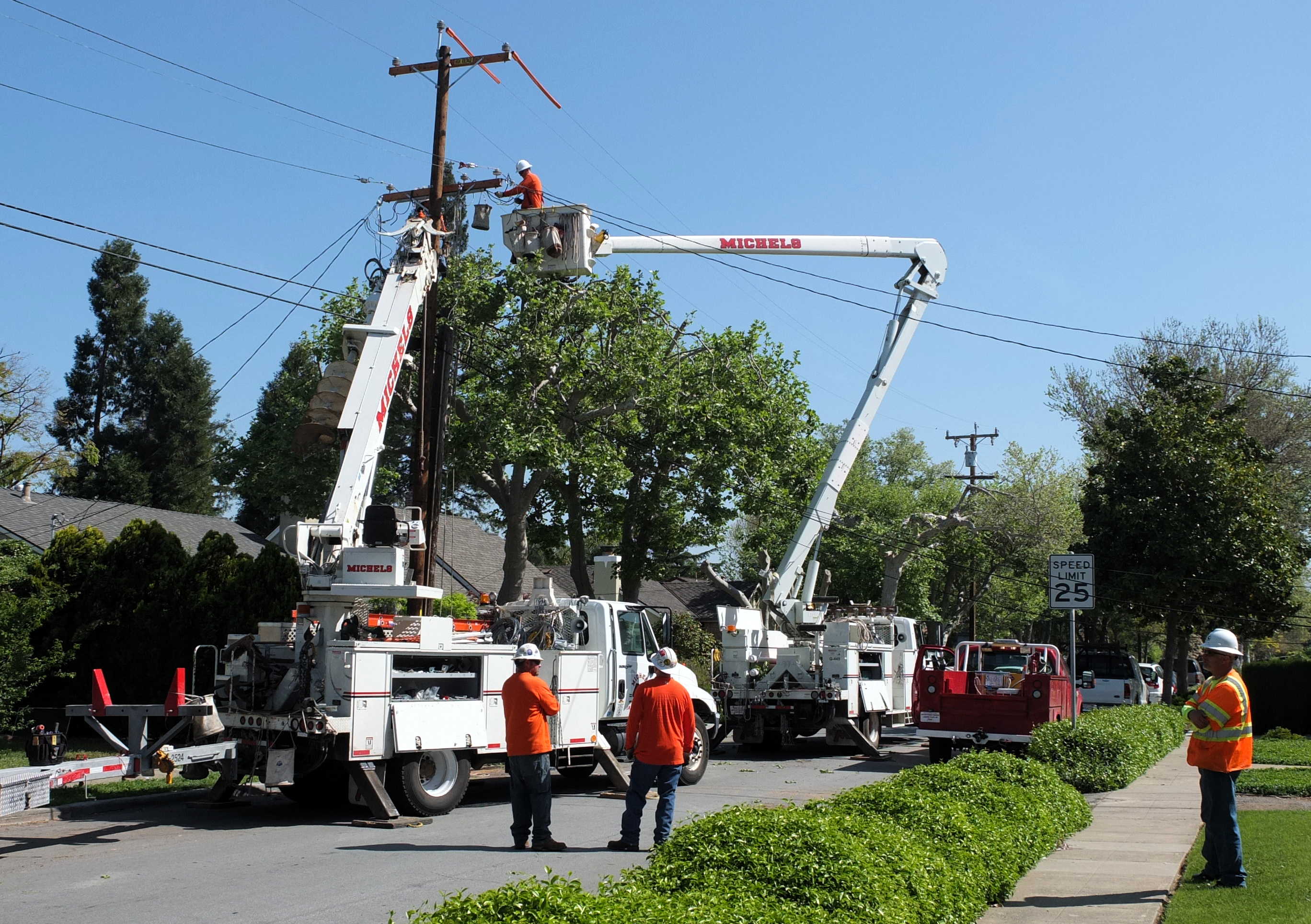
We’re happy to keep our old lines; neighbors got theirs replaced.

Deteriorated with age, and heavily damaged by woodpeckers, it’s out with the old pole.

There was talk about using that big auger to drill a new hole. Good thing they we able to reused the same space, less chance of damaging the tree roots.
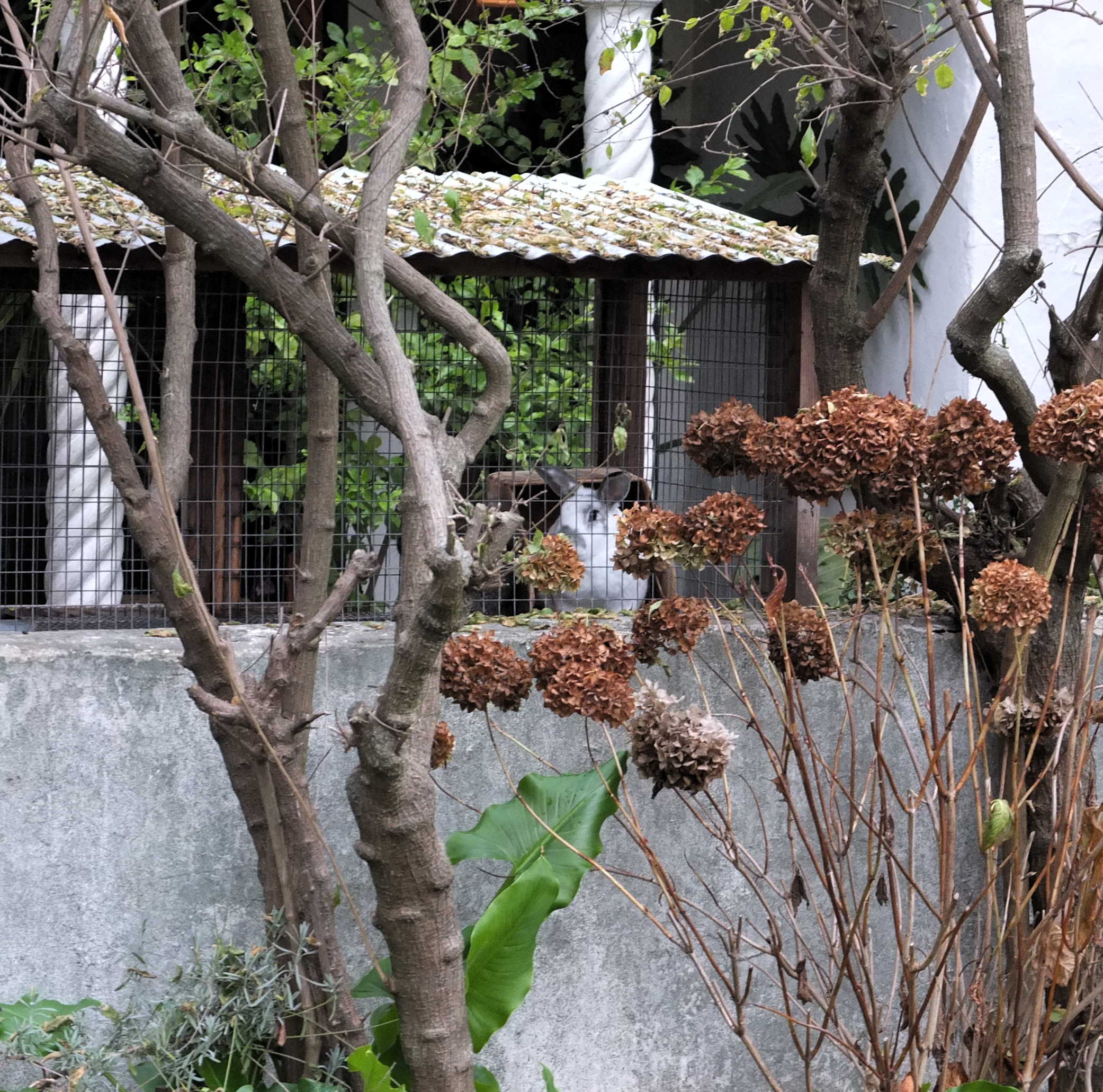 Here’s looking at you …
I’m tempted to raise rabbits for their meat, but none of my friends think I’ve the meat-hunger to slaughter one. My great uncle did, and I think he let me watch once, and to this day I can’t tell if I was really traumatized by it (so maybe I didn’t see anything).
I offered her money in exchange for a photograph. She agreed, but not to show her face:

Photo taken 2/27/2009, on Lincoln Avenue just north of Coe.
Photo is now being used in a fundraiser:

Always something/someone amusing at the weekend farmers market.
This morning just before the full moon set at 5:50 AM:

Photo taken looking west from the Willows Community Center parking lot on Lincoln Ave, near the tall Cedar tree. (Across the street from Elva’s Coffee Stop.)

Someone’s child may still have a half-empty can of black spray paint in their possession.

One solution to problems of this sort: neighborhood webcam <- google
